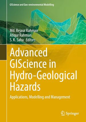
Advanced GIScience in Hydro-Geological Hazards : Applications, Modelling and Management - Md. Rejaur Rahman

eTEXT

Advanced GIScience in Hydro-Geological Hazards

Applications, Modelling and Management

By: Md. Rejaur Rahman (Editor), Atiqur Rahman (Editor), S. K. Saha (Editor)

eText | 2 February 2025

At a Glance

eText


$329.00

or 4 interest-free payments of $82.25 with

 or 

Instant online reading in your Booktopia eTextbook Library *

Read online on
Desktop
Tablet
Mobile

Not downloadable to your eReader or an app

Why choose an eTextbook?

Instant Access *

Purchase and read your book immediately

Read Aloud

Listen and follow along as Bookshelf reads to you

Study Tools

Built-in study tools like highlights and more

* eTextbooks are not downloadable to your eReader or an app and can be accessed via web browsers only. You must be connected to the internet and have no technical issues with your device or browser that could prevent the eTextbook from operating.

In recent decades, natural hazards have increasingly threatened lives, livelihoods, and economies, with annual losses totalling billions of dollars globally. According to the Insurance Information Institute (III) and the Zebra, USA, natural disaster losses reached $74.4 billion in 2020, and an average of 6,800 natural disasters occur each year, claiming around 1.35 million lives. Hydrological and geological hazards, in particular, have significant societal and environmental impacts, making them critical areas of research. Understanding and mitigating these hazards is vital for developing legal mechanisms related to environmental restoration, societal improvements, and sustainable development.

Modern technologies and earth observation data play a crucial role in disaster monitoring, prediction, modelling, and management. Recent advancements in geoinformation science have introduced multi-source data for natural hazards research. In addition, cutting-edge methods such as machine learning, deep learning, and big data science offer powerful tools for in-depth studies of natural hazards through remote sensing and geoinformatics. This book, Advanced GIScience in Hydro-Geological Hazards, presents up-to-date contributions on applying advanced GIScience to research various hydro-geological hazards, including floods, landslides, tropical cyclones, soil erosion, coastal erosion, riverbank erosion, coastal area vulnerability, drought, wetlands shrinking etc. It also explores multi-hazard studies using SAR, GNSS, and other innovative methods. The chapters focus on integrating artificial intelligence, machine learning techniques, and remote sensing to enhance preparedness, response, and resilience against these hazards. Targeting a broad audience of academics, scientists, students, environmentalists, government agencies, disaster planners, and GIS experts, this book aims to showcase the latest advancements in GIScience for assessing and managing hydro-geological hazards. It offers strategies for disaster risk reduction and capacity building, providing readers with the knowledge needed to address pressing environmental challenges.

Read online on
Desktop
Tablet
Mobile

More in Artificial Intelligence

Where the Axe is Buried - Ray Nayler

eBOOK

AI-Powered Search - Trey Grainger

eBOOK

HBR Guide to Generative AI for Managers : HBR Guide - Elisa Farri

eBOOK